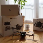
If you want to film more than just forests, meadows and the odd house, you should look for inspiration for more advanced applications for your drone. We show you some possibilities with our 10 project ideas for advanced drone pilots.
In this article, we provide you with some advanced drone project ideas that will give you a quick introduction to demanding and sought-after areas of application. Not every idea is suitable for every drone pilot. Some require a deeper understanding, special drones, specific software or even further-reaching certifications. However, it is not uncommon for you to be able to provide at least the necessary data even without special training.
So please see the following list as what it is intended to be: a source of ideas. You are welcome to tell us about other exciting use cases in the forum below the article or discuss the suggestions in this article.
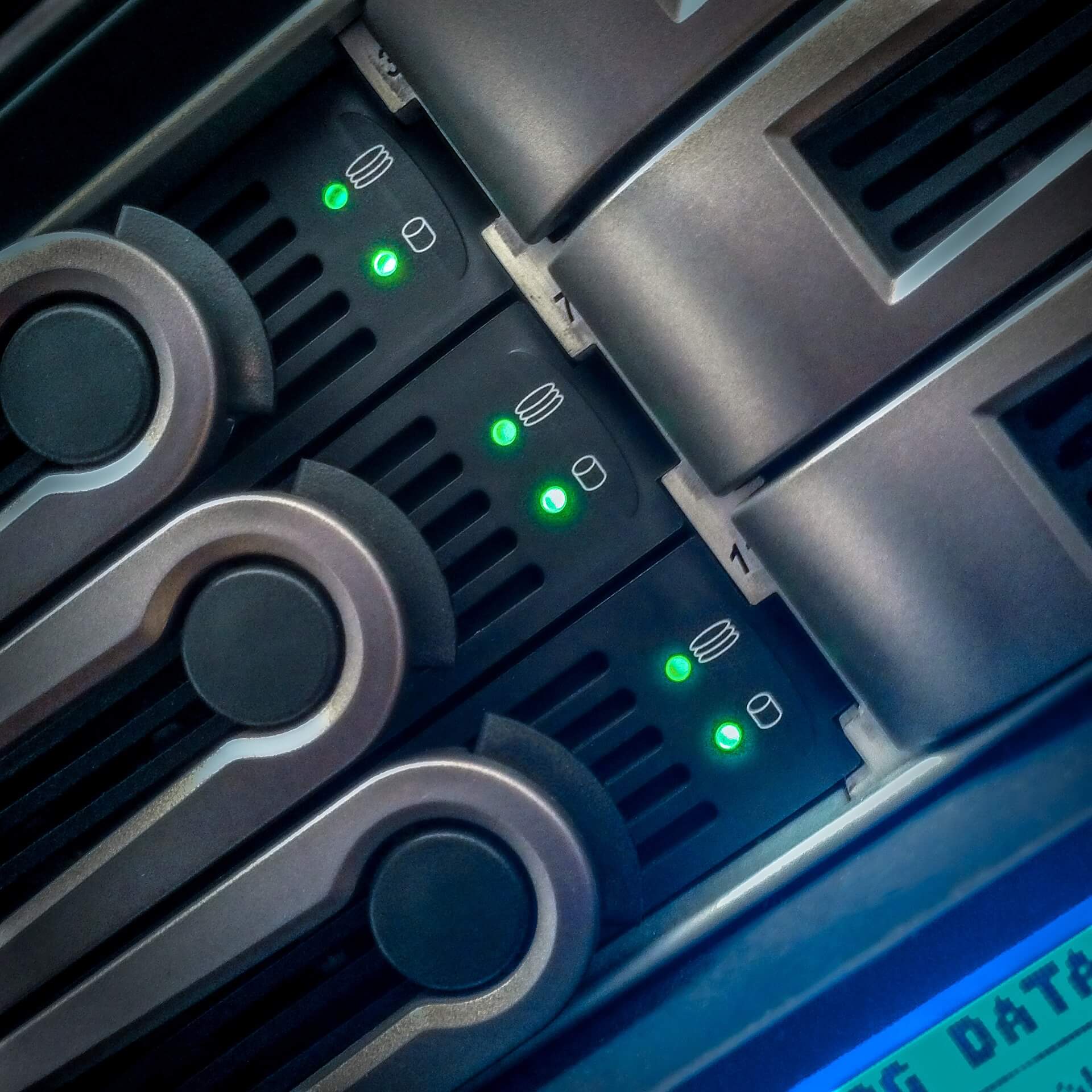
1. Inspection of industrial plants
Drones can be used to inspect industrial plants in detail for structural damage or wear. They can reach areas that are difficult to access and provide high-resolution images and videos. This allows maintenance work to be planned in a targeted manner and breakdowns to be avoided.
🧑💼 Possible customers: Industrial companies, production plants, power stations
🧑💻 Specialised software: Yes, software for image analysis and damage documentation
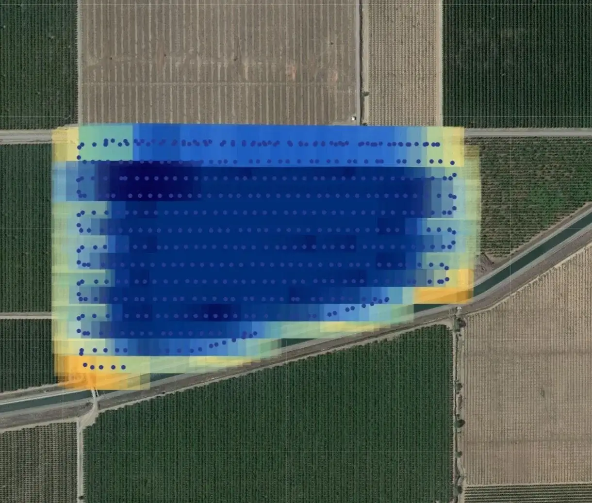
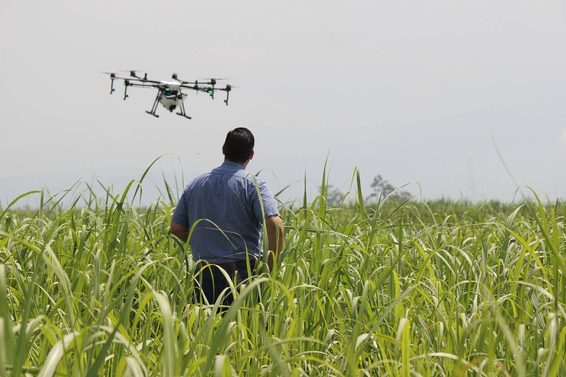
2. Agricultural monitoring
Drones enable precise monitoring of crop yields and help with the early detection of pest infestations. They use special cameras to record the health of the plants. This allows you to optimise the use of fertilisers and pesticides and increase yields.
🧑💼 Possible customers: Farmers, agricultural businesses, agricultural cooperatives
🧑💻 Specialised software: Yes, software for plant analysis and yield monitoring
3. Surveying and mapping
Drones are used to create high-resolution maps and 3D models of large construction projects or natural landscapes. They fly over the terrain and collect precise data. This saves time and increases accuracy compared to conventional surveying methods.
🧑💼 Possible customers: Construction companies, surveying offices, urban planners
🧑💻 Special software: Yes, GIS software (geographic information systems) and 3D modelling software
4. Infrastructure monitoring
Drones enable regular inspections of bridges, power lines and pipelines. They provide detailed images that can be used to check the condition of the infrastructure and recognise maintenance requirements at an early stage. This contributes to safety and reliability.
🧑💼 Potential customers: Municipalities, utility companies, transport companies
🧑💻 Specialised software: Yes, inspection and analysis software
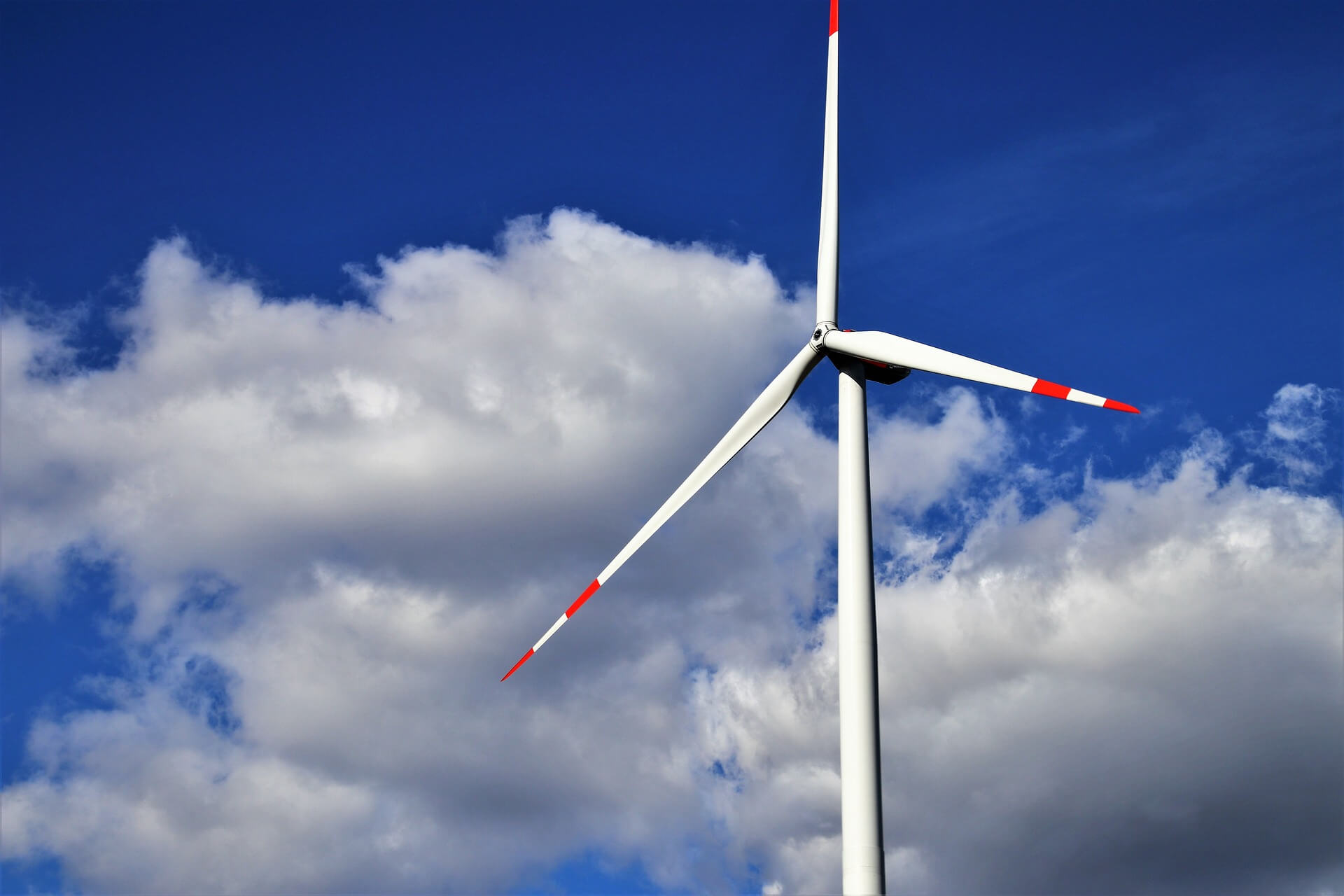
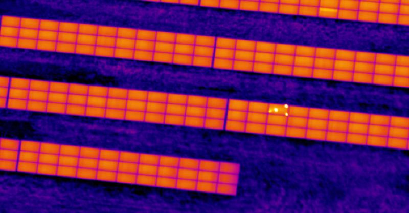
5. Inspection of photovoltaic and wind power plants
Drones can be used to inspect the rotor blades and towers of wind turbines and PV systems for damage and efficiency. They fly close to the systems and take high-resolution images. This allows defects to be recognised at an early stage and maintenance work to be planned efficiently. Defective PV panels can also be quickly recognised with thermal imaging.
🧑💼 Potential customers: Operating companies of solar and wind parks, maintenance companies
🧑💻 Specialised software: Yes, thermography and analysis software
6. Documentation of construction progress
Drones enable regular aerial photography to document construction progress. You can use these images for reports and presentations. This allows you to maintain an overview of the project and easily share construction progress with customers and partners.
🧑💼 Possible customers: Construction companies, project developers, architectural firms
🧑💻 Specialised software: Yes, project management and documentation software
7. 3D modelling of historical sites
Drones help you to create detailed 3D models of historical buildings and sites. These models are used for documentation and restoration. This allows you to precisely analyse the condition of the buildings and plan necessary conservation measures.
🧑💼 Possible customers: Monument protection authorities, museums, archaeological institutes
🧑💻 Special software: Yes, 3D modelling and reconstruction software
8. Live streaming of events
With drones, you can broadcast events such as festivals live and thus reach a larger audience. The drones provide impressive aerial shots and perspectives that intensify the experience for the audience. This increases the appeal of your events.
We have summarised how easy live streaming with DJI drones works in this guide.
🧑💼 Possible customers: Event organisers, media companies, marketing agencies
🧑💻 Specialised software: Yes, streaming and transmission software
9. Monitoring animal populations
Drones enable the careful monitoring of wild animals in nature reserves. They record animal populations and document behaviour without disturbing the animals. This provides valuable data for nature conservation and research.
🧑💼 Possible customers: Nature conservation organisations, research institutes, national parks
🧑💻 Special software: Optional, depending on the project, e.g. software for behavioural analysis
10. Inspection of mobile phone masts
You can use drones to inspect mobile phone masts safely and efficiently. They fly close to the masts and take detailed images that you can use to check the condition of the installations. This reduces the need for risky climbing work and increases efficiency.
🧑💼 Possible customers: Telecommunications companies, maintenance companies
🧑💻 Specialised software: Yes, inspection and reporting software